Route Maps: Charts That Follow the Actual Water
Most itinerary maps draw straight lines through landmasses. Ours follow rivers, canals, and antimeridian-safe ocean crossings. Inside the route charts.
The straight-line problem
Most itinerary "maps" draw a straight line from port to port. Through Cuba. Through Italy. Through the middle of a continent.
It looks like a route. It isn't one. And a client trying to understand the voyage — how far between stops, how many sea days, what the crossing is really like — gets nothing from a line through a landmass.
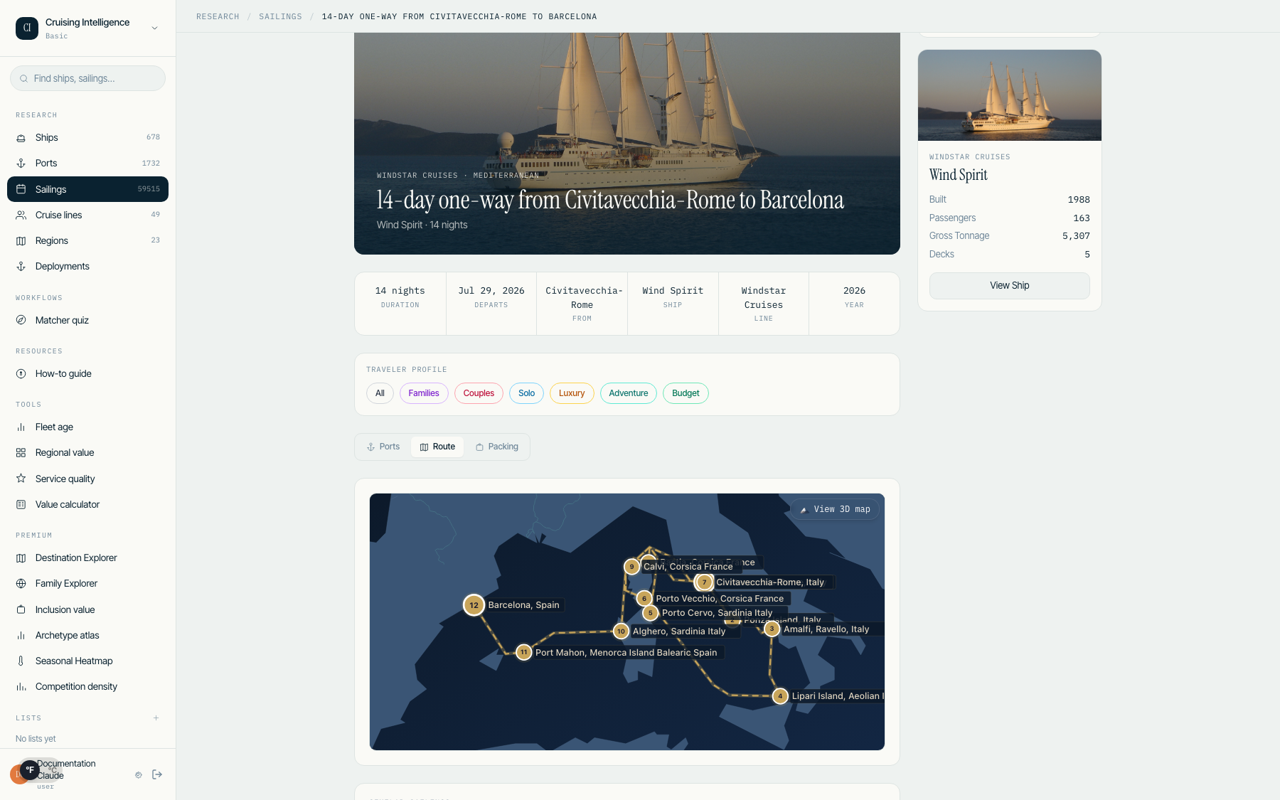
Our route charts follow the actual water. Rivers, canals, and antimeridian-safe ocean crossings.
What each chart shows
Port sequence — numbered stops in sailing order, with embarkation and disembarkation marked.
Distances — leg-by-leg distances between consecutive ports, so "how far is it to the next stop?" has an answer.
Sea days — open-water segments called out explicitly. Clients know exactly what to expect.
Rivers & antimeridian — inland waterways follow the river; transoceanic crossings split cleanly at the antimeridian instead of wrapping the wrong way around the globe.
Two levels of detail
A mini-map on every itinerary card lets you scan a shortlist without opening each sailing. The detailed route view is built for the consultation desk — walk a client through the voyage stop by stop.
The value
A route is a promise about the experience. Sea days, distances, the shape of the crossing — these are the things a client actually feels. A chart that follows the water tells the truth about the voyage. A straight line doesn't.
See sea-true route charts on your 14-day free trial. No card required.